About
Are lake volumes affected most by precipitation, water table height, evaporation or some other factors? Knowing the answer to this question will help us better understand how water moves in relation to these lakes and the surrounding land and what that may mean for lake users and these ecosystems.
We are working with a network of citizen scientists who are reporting lake height by reading simple lake gauges.
We combine these measurements with surface area measurements of the lake derived from satellite images. By knowing the changes in both lake height and lake surface area, researchers can understand how the volume of water in a given lake is changing over time.
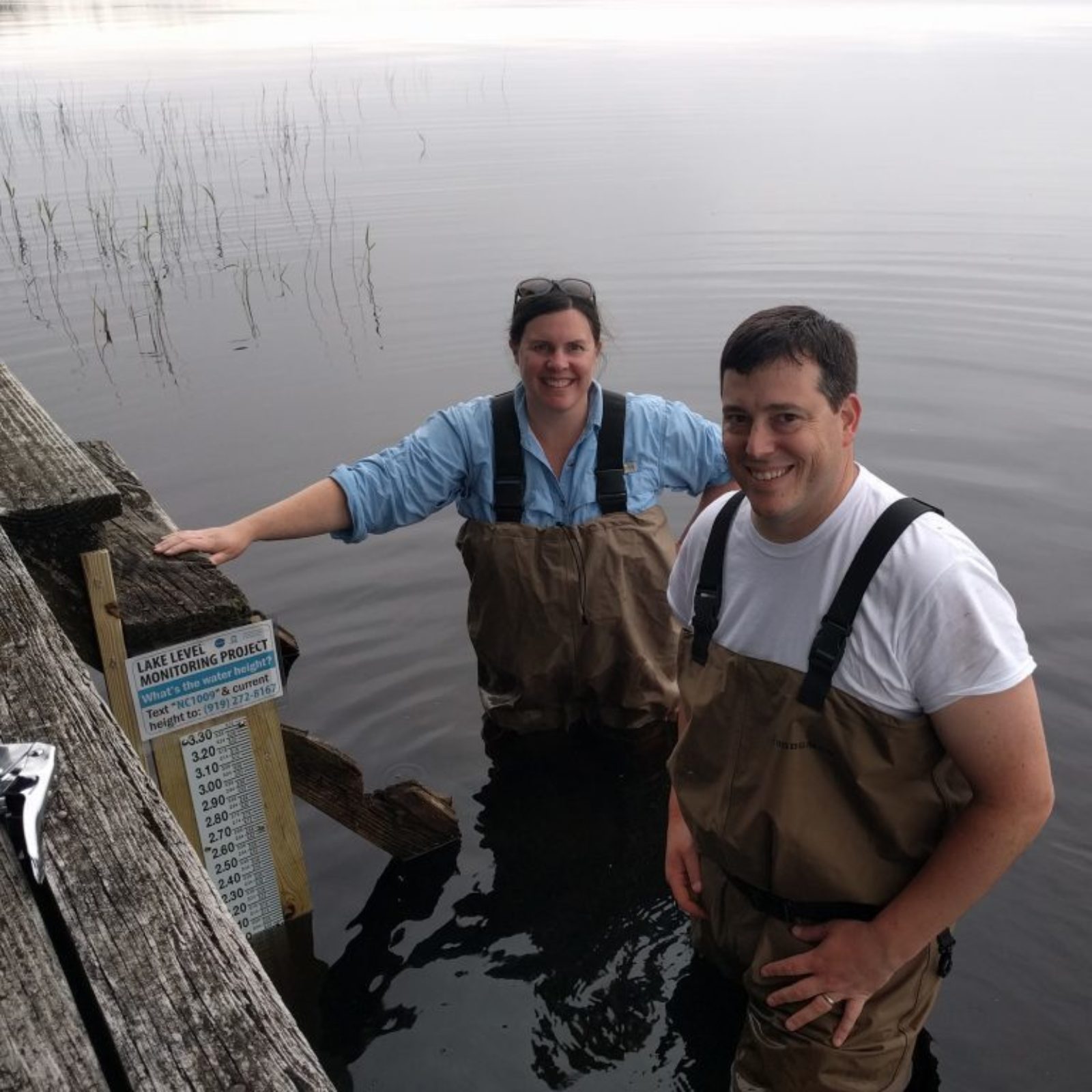 Installing a new gauge at Lake Waccamaw, NC
This NASA-funded project is a collaboration between the Department of Geological Sciences at UNC-Chapel Hill, the UNC Institute for the Environment's Center for Public Engagement with Science, University of Washington Department of Civil and Environmental Engineering, and Tennessee Technological University Department of Computer Science.
We are grateful for assistance from experts at the NC Museum of Natural Sciences and the Wisconsin Citizen Lake Monitoring Network who have also provided valuable advice and feedback as we establish this project.