Are Jones Lake and Salters Lake Hydrologic Twins?
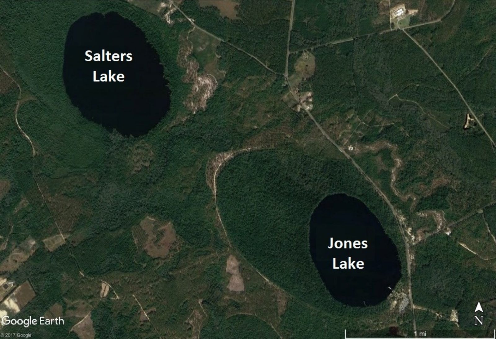 Satellite image of Salters and Jones Lakes in Bladen County.
The two lakes are separated by just a little over a mile, and both are part of Jones Lake State Park. The areas surrounding the lakes are ecologically diverse, with Salters lake being completely undeveloped. They’re also popular destinations for recreation. As a hydrologist, I would hypothesize that variations in the amount of water stored in the two lakes would be closely coupled because they are likely part of the same groundwater system. Also, they likely receive similar amounts of precipitation and lose similar amounts of evaporation.
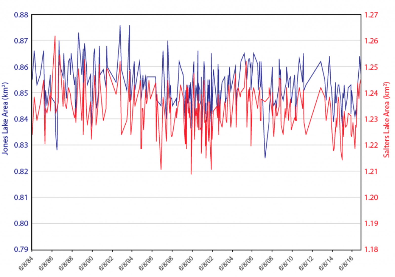
As a scientist, though, I don’t like to assume that my hypotheses are correct unless they’ve been tested against data. Fortunately, we have developed two interesting datasets that we can use for this test. First, we have measured the areas of both lakes in 263 Landsat satellite images going back to 194. If the lakes are responding to the same hydrologic processes, we would expect that lake areas would change together; if Jones Lake gets bigger, so should Salters. So what do we see?
 Surface areas of Jones Lake and Salters Lake measured from Landsat Satellite images
The graph above shows the time series of lake areas for both lakes. It’s a little hard to see, but the two time series are definitely related. In fact, if you know what’s happening in one of the lakes you can predict about half (46%) of the variability in the other lake. In fact, they’re probably even more related, since our satellite images are trying to pick up very small changes in area (about 0.02 km2, or about four football fields crammed together and spread around the perimeter of each lake). Some of the changes that we see in the chart above come from errors in our classifications of water.
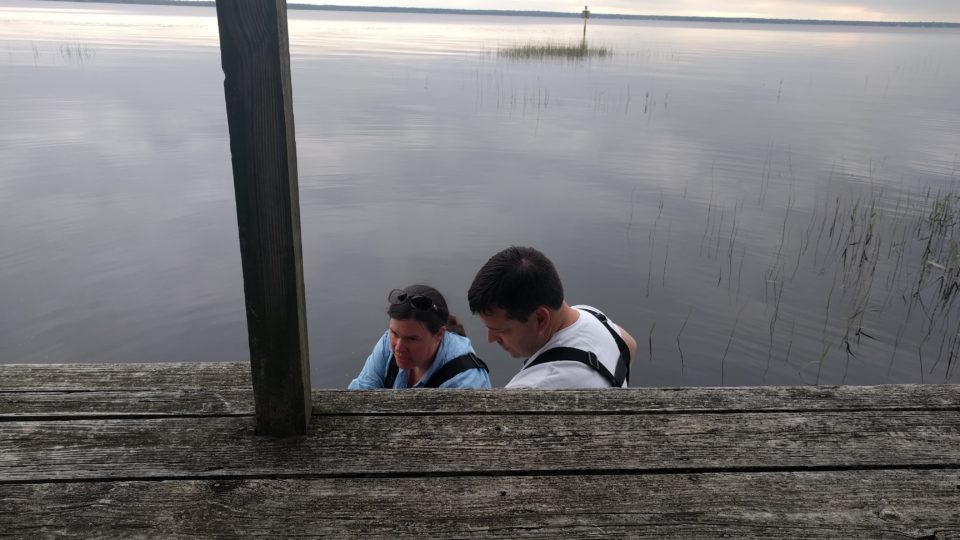
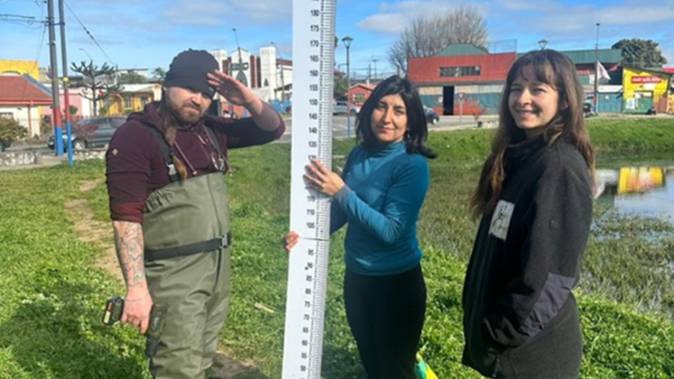
For a shorter but likely more accurate picture of how the lakes are changing together, we can look at lake water level measurements, also known as gauge height, made by local citizen scientists starting in April of 2017. These measurements, shown in the figure below, demonstrate that water levels in the two lakes are varying in almost exactly the same ways. If you know how water levels are changing in one of the two lakes, you have over 90% of the information you’d need to predict what’s happening in the other lake.
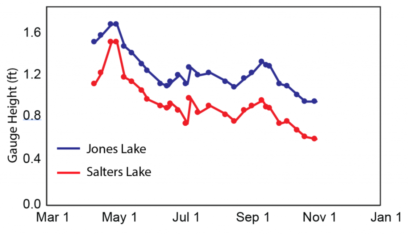 Water levels measured by citizen scientists in Jones and Salters Lakes. Measurements started on April 18, 2017, and the most recent measurement is from November 3, 2017.
Our analysis of these two different datasets brings us to one conclusion: as hypothesized, these two lakes are hydrologically very tightly coupled. It’s likely that through rainfall, evaporation, and groundwater flow the same processes are driving their water storage. It will be interesting, in the coming months, to look at whether this is also true for other lakes around Bladen County and across the rest of Eastern North Carolina.
LOCSS News
We share stories about the lakes in our study, our partners and volunteer citizen scientists, as well as interesting results from our research.