Bay Tree Lake: How Does Its Water Level Change?
 Satellite measurements of Bay Tree Lake area in North Carolina
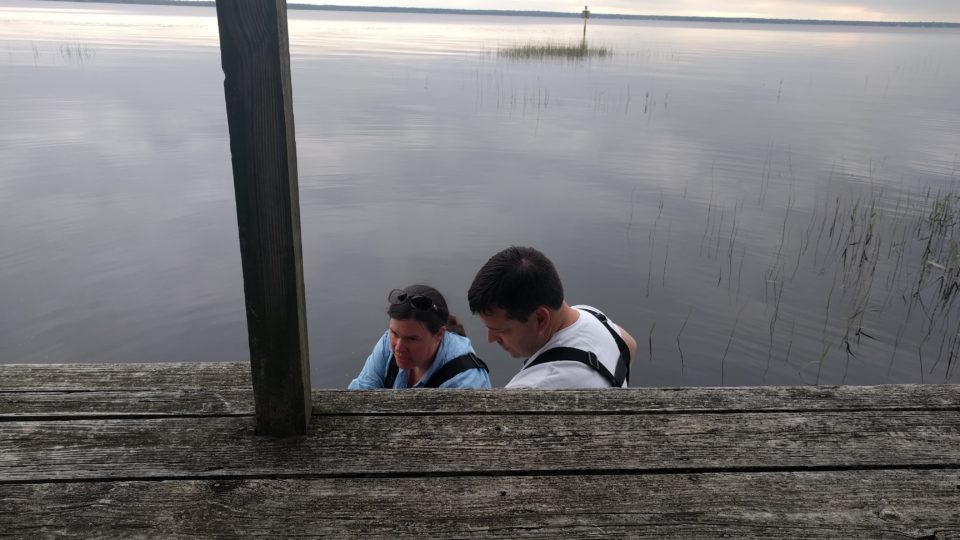
We’re aiming to combine measurements from two different sources: satellite images that can be used to measure lake area and citizen measurements of lake water level. We’re going to start by looking at one of the lakes in Bladen County, North Carolina: Bay Tree Lake. Bay Tree Lake is particularly interesting because it is both bordered by a state park, which is undeveloped, and by a community with houses right next to the lake. Both residents and visitors to the park may be interested in how the amount of water stored in the lake varies.
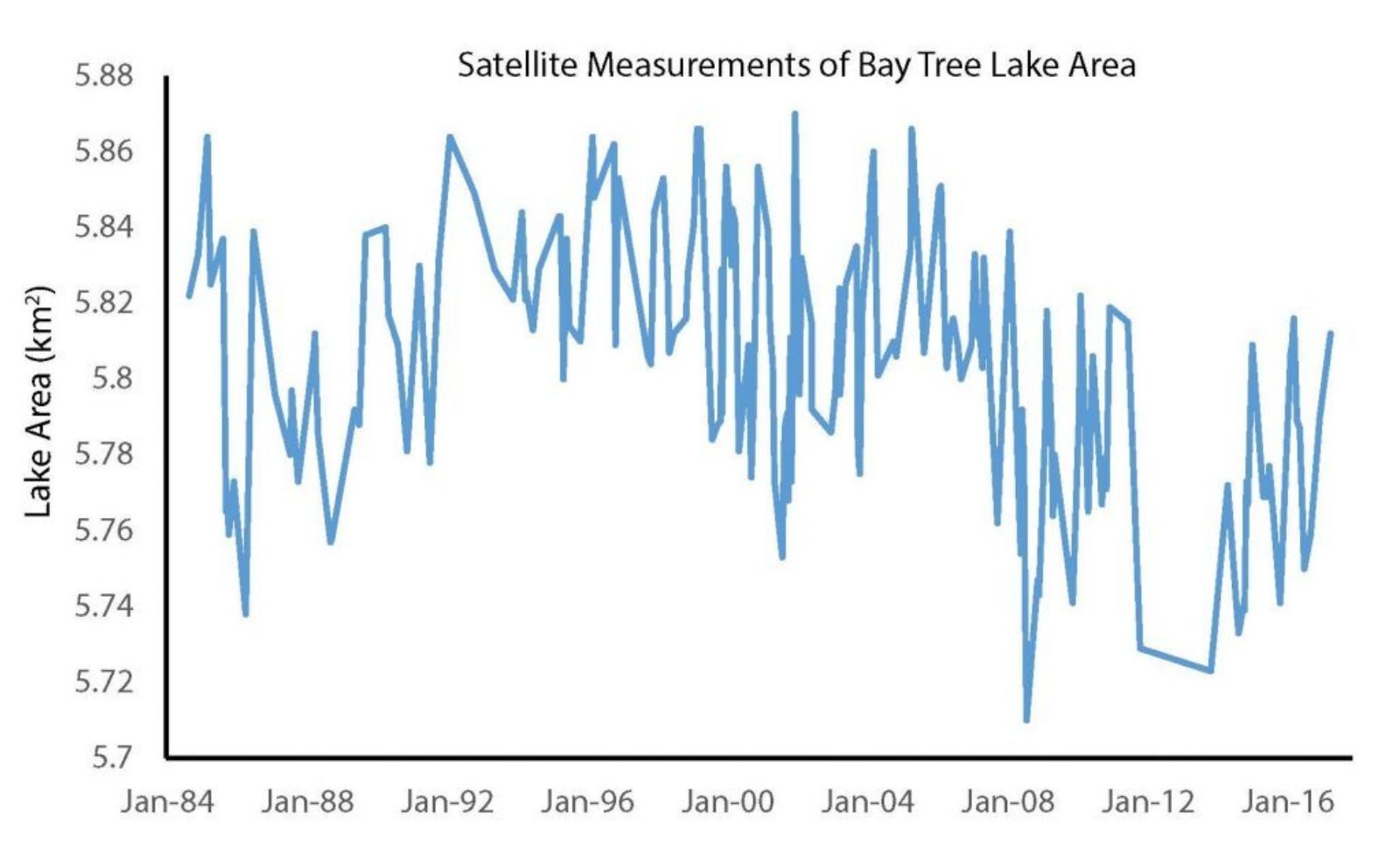
So far, we’ve started to look at the history of satellite measurements going back to 1984 using a series of NASA satellites called the Landsat series. We can look at how much the lake area has varied over time using 184 different satellite images:
We can see that the lake is pretty consistent in area, always between 5.7 and 5.9 km2 (about 2.2 to 2.3 square miles). However, there are also some interesting variations within that relatively small range. First, we can see that lake areas were generally a little bit larger in the 1990s than they are now. Second, if we organize all 184 measurements by month and look at variations from month to month, we can see that lake area is usually a little bit larger in the winter than in the summer:
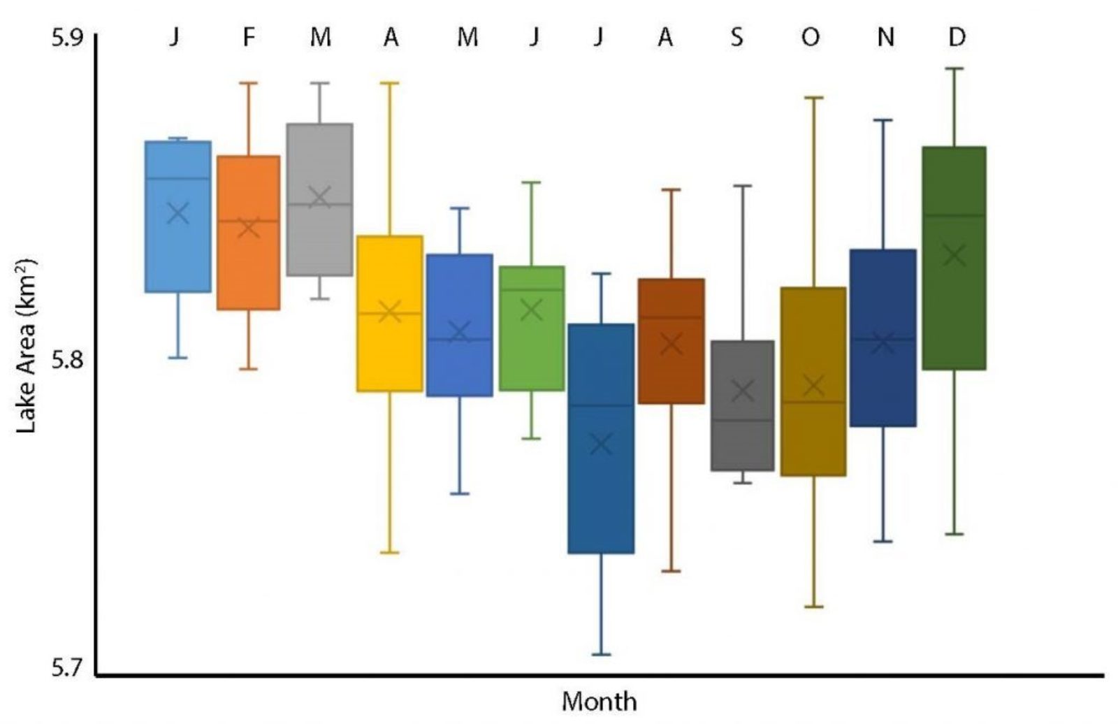 Monthly lake area for Bay Tree Lake in North Carolina
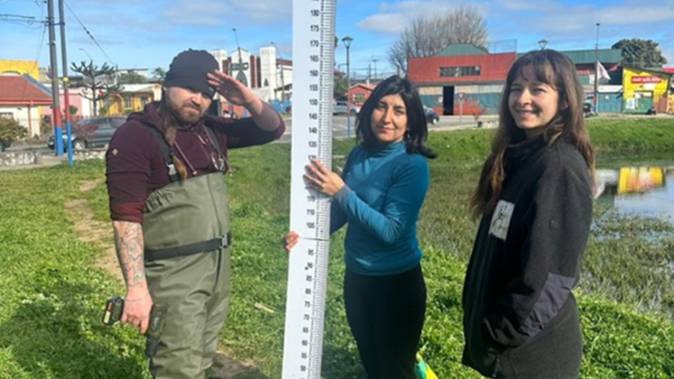
This is consistent with one of the things that we know about how the water cycle works in Eastern North Carolina. There’s about the same amount of rain all year round, on average, but because it’s so much hotter in the summer there’s a lot more evaporation. As a result, we’d expect lake levels to go down a little bit. We can also compare these changes to citizen-measured variations in lake water level from 2017 for Bay Tree Lake:
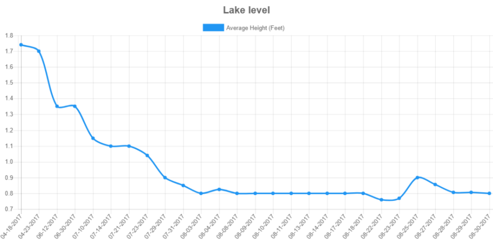 Lake level at Bay Tree Lake in North Carolina
We can see that the first measurements, taken in April, are much higher than later measurements taken in the summer (July and August). In fact, the variations in lake height are much larger than the variations in lake area. This difference suggests that lake level measurements are probably more important in understanding how Bay Tree Lake varies. Our next step will be to combine these measurements to understand how the volume of water stored in Bay Tree Lake, and all of the other lakes in Eastern North Carolina, varies over time.
LOCSS News
We share stories about the lakes in our study, our partners and volunteer citizen scientists, as well as interesting results from our research.