How LOCSS Will Help us Trust a New NASA Satellite Mission
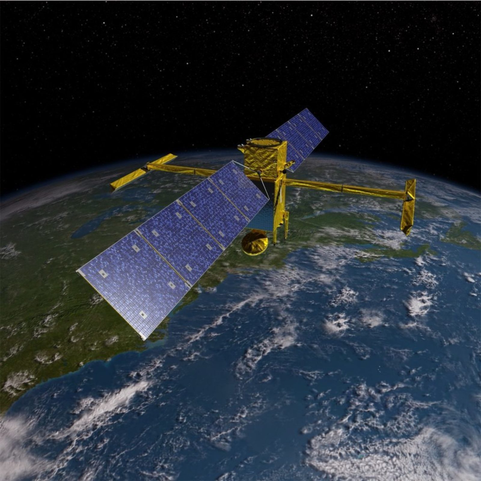 SWOT Satellite
However, a big part of NASA’s mission is, and always has been, looking back at Earth from space. NASA has a whole fleet of satellites orbiting our planet, measuring everything from the composition of the atmosphere to the health of vegetation to changes in the height of the world’s oceans.
In 2021, NASA will launch a new satellite, the Surface Water and Ocean Topography (or SWOT) Mission. SWOT is the first mission dedicated to tracking our water resources by measuring changes in the amount of water stored in lakes and reservoirs and by estimating the amount of water flowing through our rivers. NASA is a research and development agency, so it focuses on developing new technologies. SWOT, an unusual type of radar instrument, is no exception. If we want to trust these new technologies, we need on-the-ground data that we can compare them to.
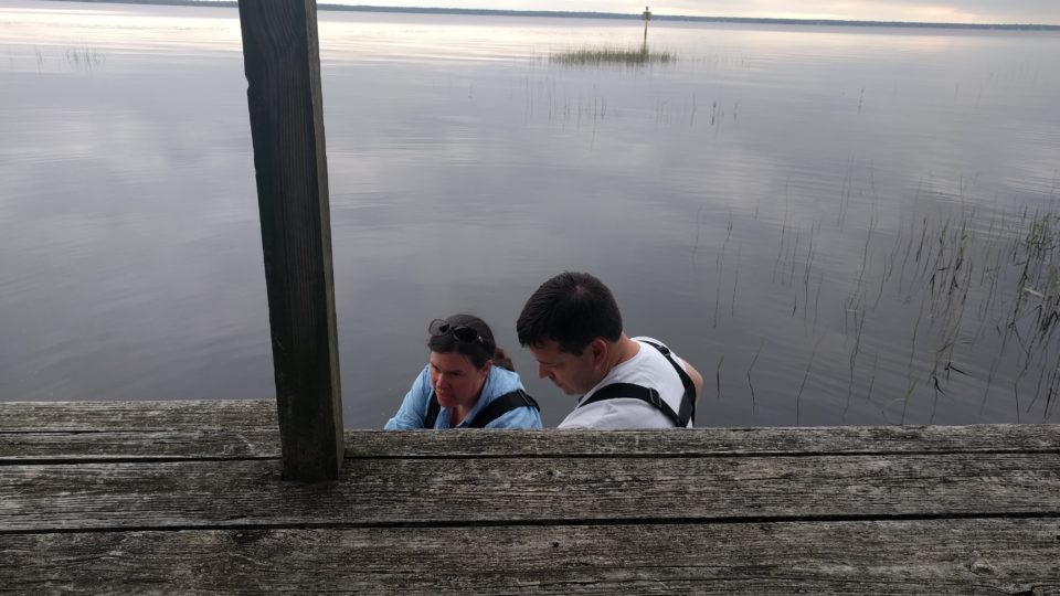
The LOCSS project is specifically designed to help us understand SWOT’s performance. When SWOT flies overhead, we hope our citizen scientist collaborators will be sending us measurements of lake water level. We can directly compare these against the SWOT measurements, and, if the comparison looks good, we will know that we can use SWOT to measure literally millions of lakes around the world, almost none of which have current, on-the-ground measurements.
We will be especially counting on our citizen scientists during a key period at the beginning of the mission, which we call the fast sampling orbit. During this three-month window, we will be measuring only a small part of Earth’s surface, but we will do so every single day. Most of our lakes in Washington, New England, and France will be covered by these SWOT measurements. If you live in one of these areas and participate in LOCSS, we will likely be contacting you in early 2021 to ask for your help in this very special mission.
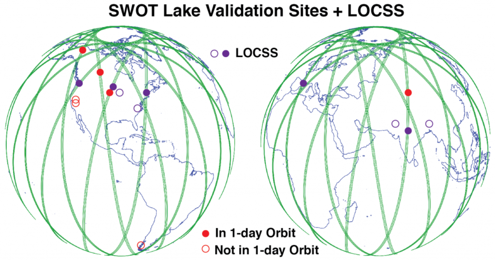 Map of the future SWOT fast sampling orbit (green) along with LOCSS study lake locations (purple) and future SWOT lake validation sites (red).
Most of the time, we think about using LOCSS data to understand the individual lakes we’re monitoring, but in working with the SWOT mission we will also be helping to understand all of the world’s lakes. Which sounds like a job big enough for NASA!
LOCSS News
We share stories about the lakes in our study, our partners and volunteer citizen scientists, as well as interesting results from our research.