Partner Spotlight: NC State Parks
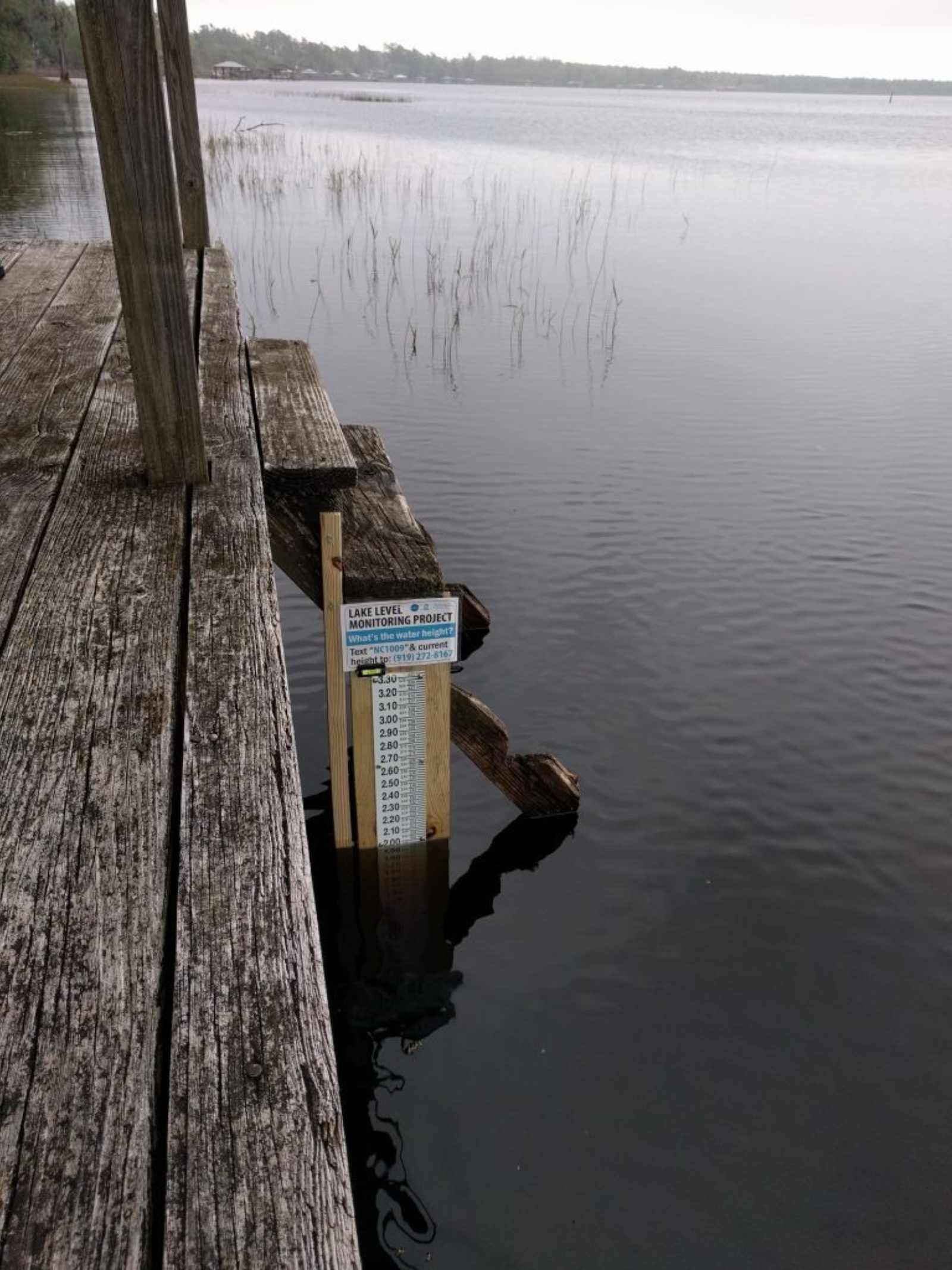
 The gauge at Singletary Lake State Park is located out on the dock near the swimming area.
As it turns out, North Carolina’s natural lakes are confined to the coastal plain region of the state, and most, if not all, are considered to be Carolina bay lakes, named for the sweet bay, loblolly bay and red bay trees growing around them. Many of them are also managed within the NC State Parks system.
NC State Parks’ mission is to protect North Carolina’s natural diversity, to promote outdoor recreation and to encourage appreciation of North Carolina’s natural and cultural heritage. State parks can also function as outdoor laboratories for scientific investigations. As stewards of public lands, charged with also providing educational and scientific opportunities for these unique natural areas, NC State Parks were an ideal partner and collaborator with our project.
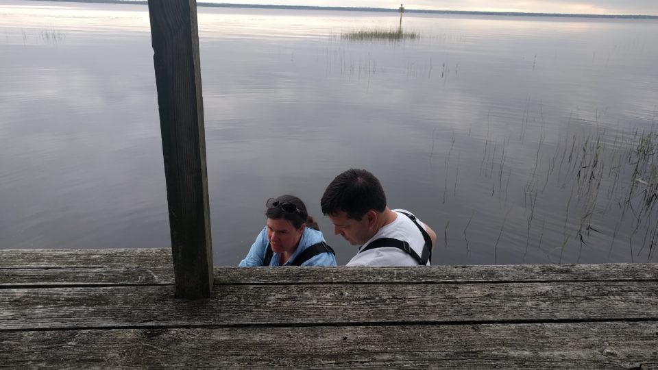
 The original placement of the gauge at the end of an old dock at Lake Waccamaw State Park.
The North Carolina Division of Parks and Recreation manages a diverse system of state parks, natural areas, lakes, rivers and recreation areas, including the Carolina bays Singletary Lake, Bay Tree Lake, Jones Lake, Salters Lake, Lake Waccamaw and White Lake, along with Lake Phelps in Pettigrew State Park in the northeastern area of the state.
Their participation has enabled our project to get off to a great start, as the hard-working state park rangers, superintendents and other staff who manage these lakes have proven to be invaluable partners to the the Lake Level Monitoring Project team. They have advised us throughout the initial start-up stages, especially in placement and installation of the staff gauges we use to measure lake levels, as well as development of the actual monitoring protocol to figure out what will work best.
As site supervisors, they have worked as citizen scientists themselves to monitor, collect and contribute data to the project, and have also helped us reach out into surrounding communities to recruit new volunteers. As we get further underway, they are helping us refine our data collection procedures, suggesting new places to install gauges, and even sharing information about the project in interpretive programs and hikes.
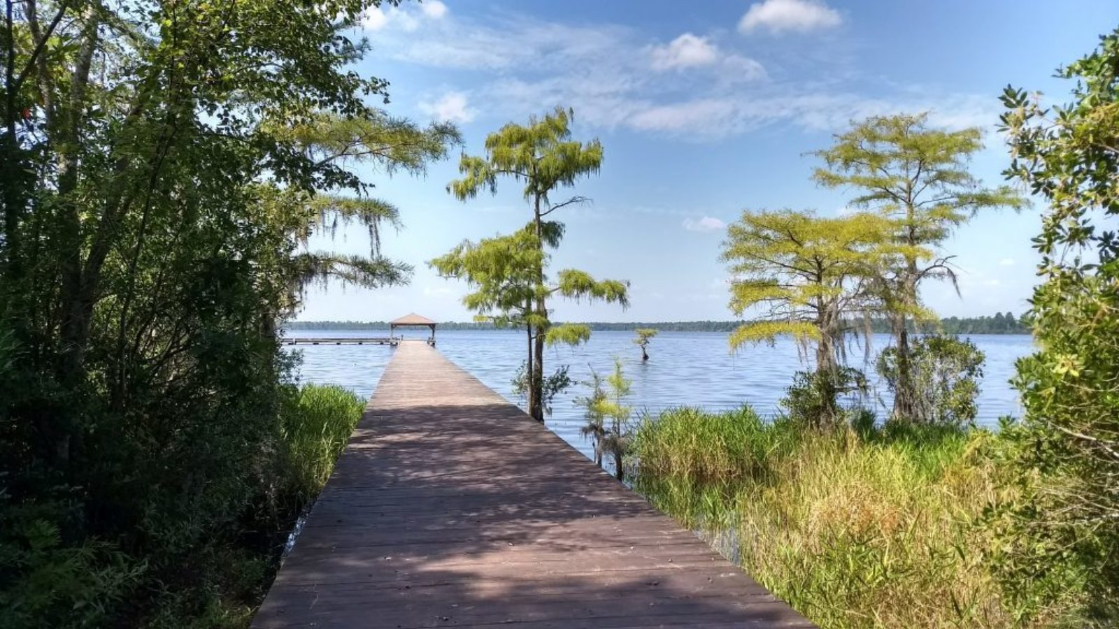
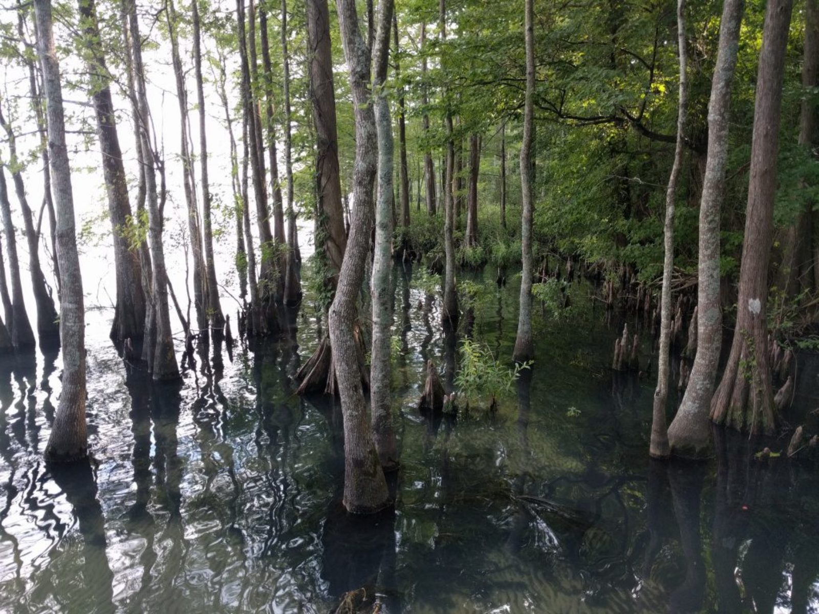 A view into the cypress swamp at the edge of Lake Phelps in Pettigrew State Park.
We can’t thank NC State Parks enough for all of the support they have shown our project!
Jones Lake State Park, Singletary Lake State Park, Lake Waccamaw State Park and Pettigrew State Park all have accessible facilities or visitor centers where you can find out more about the unique natural and cultural history of the Carolina bays and the coastal plain. Be sure to visit them, enjoy a hike, take a canoe or kayak out on the lake, and send us a lake level measurement while you’re out there!
LOCSS News
We share stories about the lakes in our study, our partners and volunteer citizen scientists, as well as interesting results from our research.