We Need Your Help To Validate Satellite Data
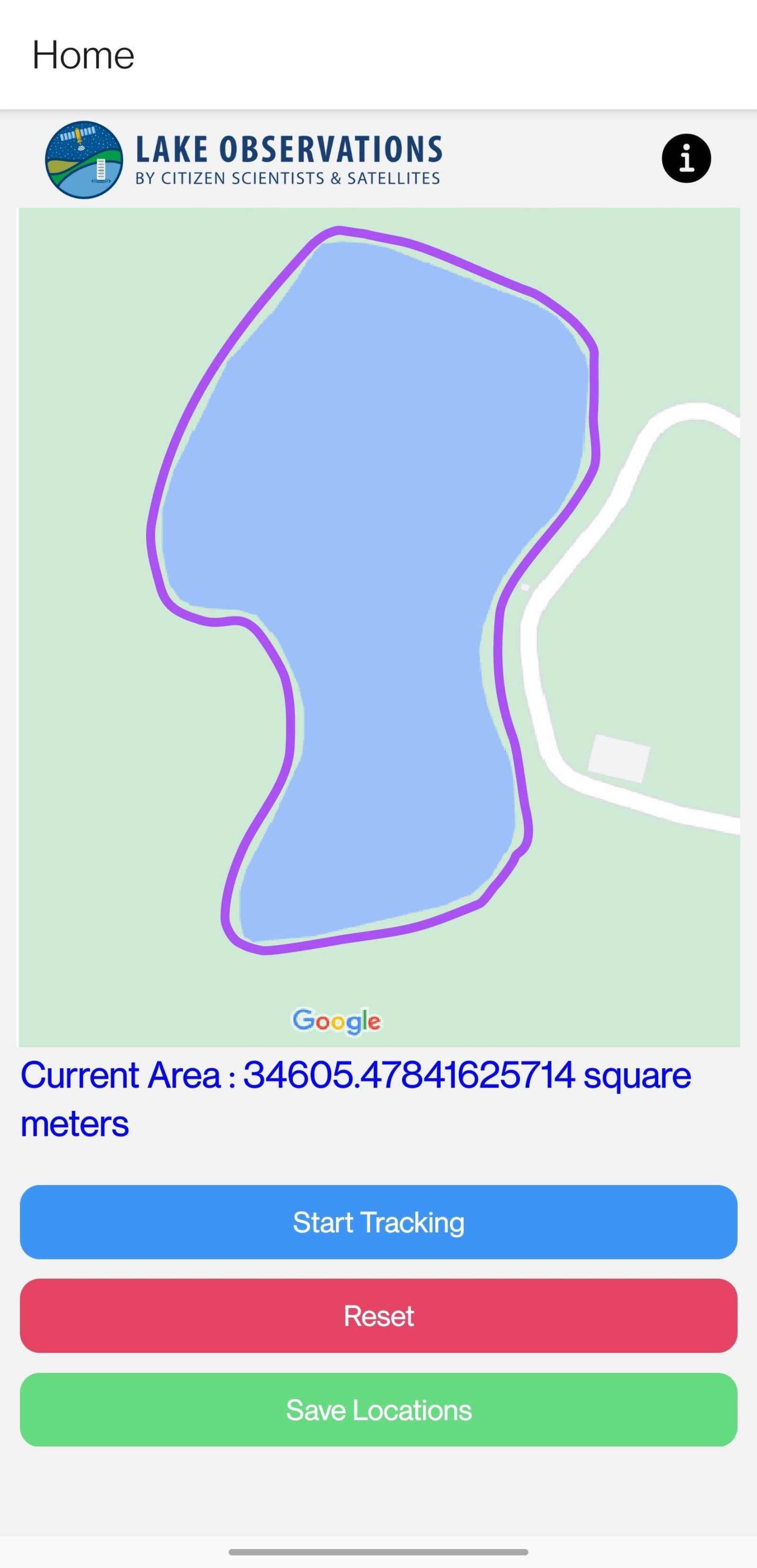 Screenshot of the LOCSS App being developed where citizen scientists can help measure lake surface area
Since LOCSS began in 2017, our team has been combining lake height data that has been provided by citizen scientists, with lake surface area data from satellites, to monitor how the volume of water in lakes is changing over time. We will continue this work for all of our study lakes, but we are also moving into a new phase of our project, where we hope to test how accurate satellite measurements of lakes are. To do this, we need your help.
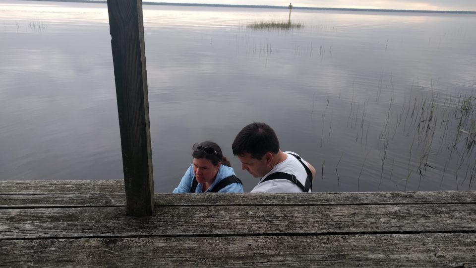
Helping out is as simple as walking the lakeshore with your phone. Our team is developing an Android mobile app that will allow a citizen scientist to tell us where the edge of the lake's water is. A volunteer will simply open the app on their mobile phone, choose to "start tracking" the lake's edge, and then walk within a few feet of the lake's edge. They could choose to walk all the way around the lake, some portion of the lake, or even map a single point.
The LOCSS team will then compare the data you provide with the data we get from satellites to get more accurate surface area measurements of our lakes.
We are looking for volunteers who have an android phone to test out this new app. If you would like to participate, please let us know by emailing us at [email protected].
We are really excited about this new phase of our project, and this new opportunity for citizen scientists to help us better understand our lakes.
LOCSS News
We share stories about the lakes in our study, our partners and volunteer citizen scientists, as well as interesting results from our research.