What Are Carolina Bays?
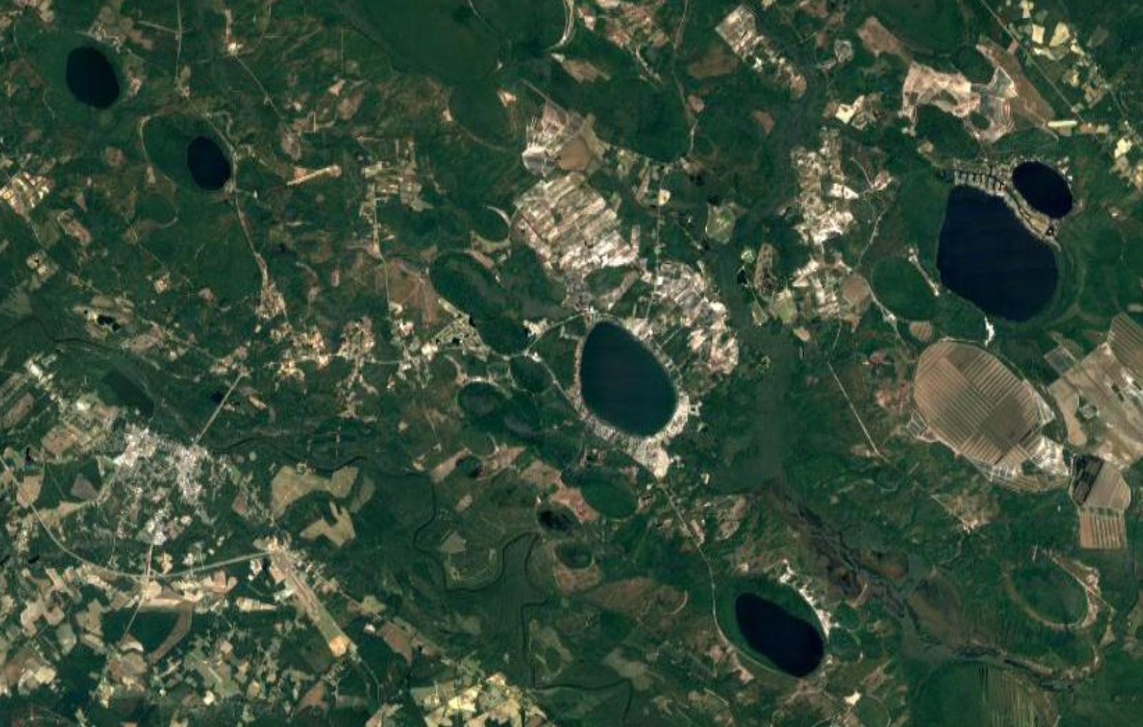 Satellite image showing several Carolina bay lakes in Bladen County, NC. Other Carolina bays that have been forested or are being farmed are recognizable by their oval shape.
These unique depressions are called Carolina bays, and there are thousands of them scattered across the coastal plain. Many of the lakes we are measuring, including White Lake and Singletary Lake, are considered Carolina bays. What is it that makes these lakes so unique, and how did they come into being in the first place?
Carolina bays are not really bays at all. In fact, they are shallow lakes, ranging from a few hundred feet to over six miles in length. White Lake, for example, is two miles long and only about 11 feet deep at its deepest. When European colonists first came to the coastal plain, they named the Carolina bays after the loblolly bay, sweet bay, and red bay trees which grow along their shores. Since their discovery, the formation of the Carolina bays has remained a mystery.
There are many natural processes that can lead to lake formation, such as volcanoes, the movement of tectonic plates, and glaciers moving across the Earth. These processes, however, don’t explain the strange shape and orientation of Carolina bays. If the bays weren’t created by tectonic forces or glaciers, how did they get here? That question has been the focus of spirited scientific debate for over a century.
For a while, many scientists believed that a series of meteors might have fallen to the Earth at an angle, resulting in the unique elliptical shape and northwest-facing direction of the Carolina bays. This theory has been debunked in recent years.
Researchers have also suggested that a meteor hit a glacier during the last ice age, sending fragments of ice across North America, which gouged out the Carolina Bays when they landed. Other ideas have included groundwater upwelling onto the surface, and underground materials dissolving and leaving behind a depression. One UNC researcher, Antonio Rodriguez, found evidence that Lake Mattmuskeet was created by the burning of peat, leaving a depression that was later filled with water.**
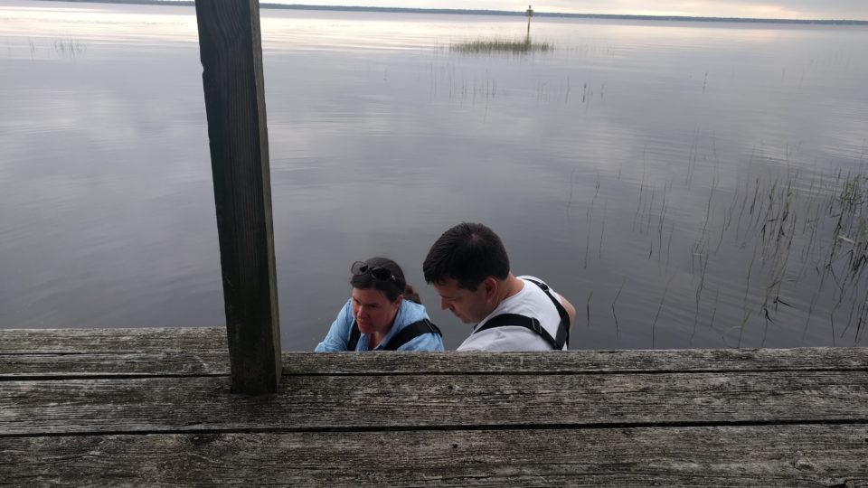
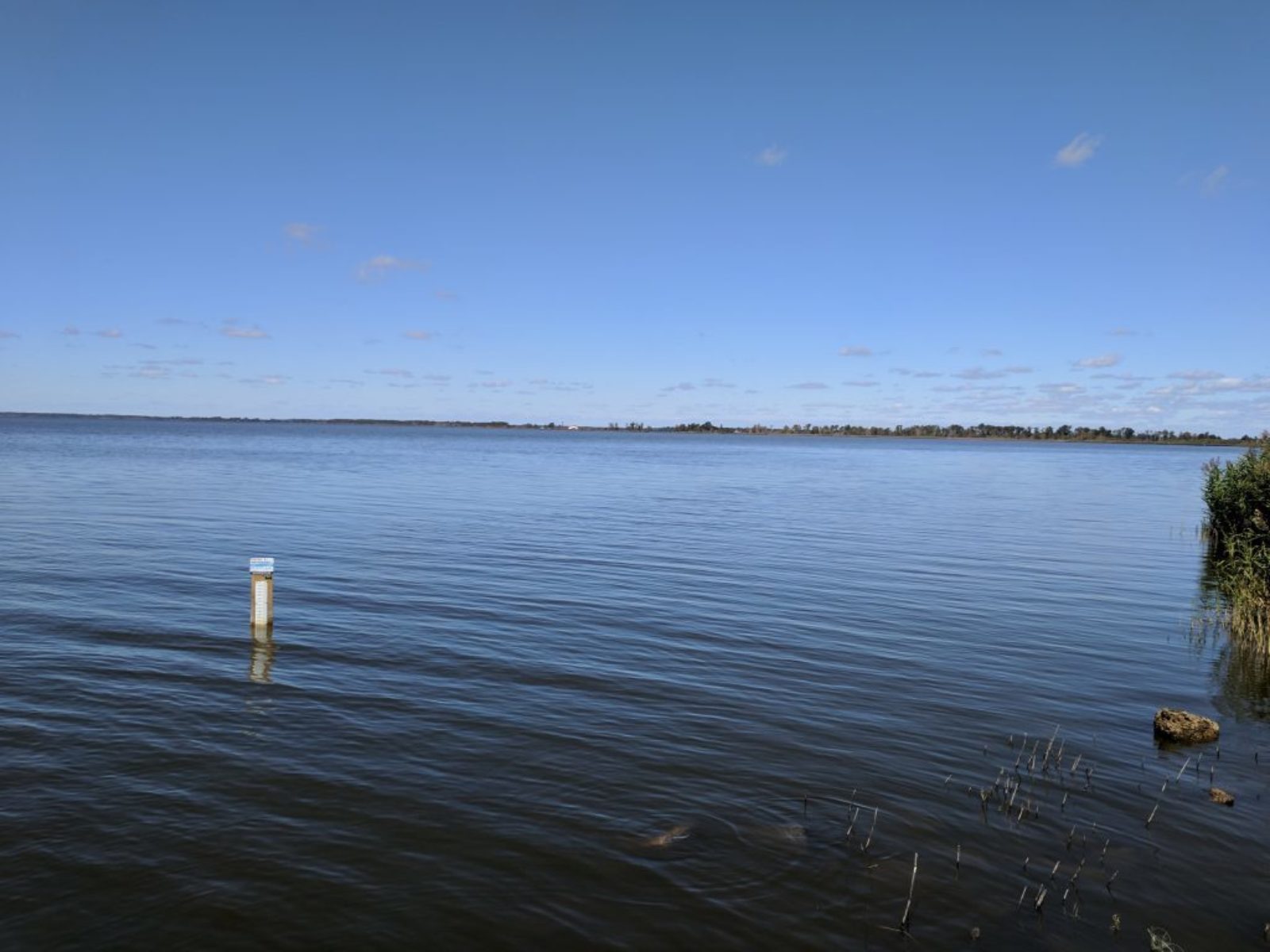 A Lake Level Gauge in Lake Mattamuskeet
Although there is still some disagreement, a current popular theory traces the origins of other Carolina Bays back thousands of years when coastal North Carolina was covered by water. The theory says that ocean currents created by strong winds gouged out the sea floor, leaving depressions in the sandy bottom. When the water receded, these depressions were still there, and became the Carolina bays we have today.
Since their creation, most of the Carolina bays have decreased in size. Singletary Lake, for example, is less than half the size it once was. This is because the bay trees which take root along the shore allow soil and dead plants to gradually build up around them. Every year, more vegetation grows in this new soil, slowly filling in the lake.
Many Carolina bays have filled in completely with organic material, becoming bogs or pocosins – an Algonquin word meaning swamp – which provide important wetland ecosystems. By storing large amounts of water, pocosins and other wetland areas reduce the impacts of flooding on coastal towns. They can also serve as natural filters for toxic runoff, preventing the contamination of drinking water.
Today, Carolina bays serve as both important natural preserves and family-friendly destinations for swimming and vacation. Because the bays are usually fed by rainwater, they have no tides or currents, and are well-known for their safe swimming conditions. This has led to the development of holiday resorts and other tourist attractions around Carolina bays.
White Lake is unique in that it is replenished by subterranean springs underground, resulting in clear water and white sand. In contrast, other Carolina bays, such as Lake Waccamaw, are murkier and often have bottoms covered with deposits of peat and other organic material.
Because of their unique origin and important ecosystem functions, Carolina bays provide wonderful opportunities for scientific discovery and environmental education. By measuring the level of water in Carolina bays over time, we can better understand how they are changing. These changes are important because they can have impacts beyond the natural ecosystem of the lake, affecting human infrastructure, tourism, and recreation.
The next time you take a trip to coastal North Carolina, think about the long and mysterious history of these natural lakes, and how you, a citizen scientist, can become a part of it.
** Antonio Rodriguez’s paper on the origin of Lake Mattamuskeet published in Quarternary Research.
LOCSS News
We share stories about the lakes in our study, our partners and volunteer citizen scientists, as well as interesting results from our research.