New LOCSS Study Lakes in Washington
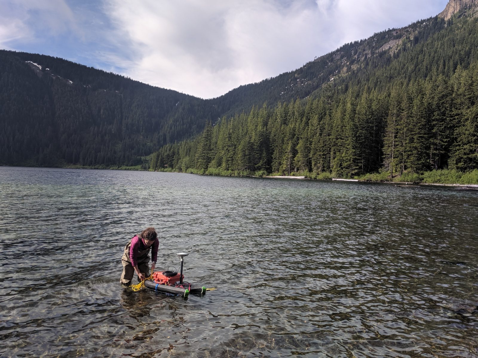 LOCSS team member Megan Rodgers prepares a GPS drifter to measure the elevation of Walupt Lake in Gifford Pinchot National Forest, Lewis County, Washington.
In fall of 2018, the LOCSS team began studying lakes outside of North Carolina for the first time, when we put gauges in 12 lakes in the state of Washington. During that time, we were able to put lake gauges in a variety of urban, suburban, and rural lakes in four counties: Chelan, King, Snohomish, and Thurston. To date, we have received a total of 575 lake height measurements from citizen scientists from those 12 lakes! We’ve had such success in Washington that we decided we needed to add more lakes from the state.
So in June, LOCSS sent a team of 4 people to Washington to put lake gauges in 11 additional lakes. Of those 11 new lakes, three are in Snohomish County, three are in King County, two are in Yakima County and we added one lake each in Chelan, Cowlitz, and Lewis Counties. We worked with several partners in the state of Washington to make this happen: City of Federal Way, Snohomish County, Washington State Parks, Mt. St. Helens National Volcanic Monument, Gifford Pinchot National Forest, and the Okanogen-Wenatchee National Forest.
The state of Washington is a focus area for the LOCSS program for a variety of reasons. The state is home to a large number of natural lakes that vary in size, location, development level, and how they were created. So studying Washington lakes can teach us a lot about lakes in general. In addition, the University of Washington is a partner on our project, and although they will primarily be working to help the LOCSS program expand to international destinations, their location makes the state a natural fit for our project. Lastly, the state of Washington will be important for an upcoming NASA mission, called SWOT, or Surface Water and Ocean Topography, which will launch in 2021. The LOCSS project lead, Tamlin Pavelsky, is also serving as a Hydrology Science Lead for the SWOT mission. Dr. Pavelsky believes that the LOCSS network of citizen scientists can provide valuable, on the ground measurements of lakes to validate the data that will be generated by SWOT satellites, particularly in the first several months of the mission when the SWOT satellite will be measuring many of Washington’s lakes on a daily basis.
Lake height data from these new lakes, as well as all other LOCSS study lakes can be found on our View Lake Data page.
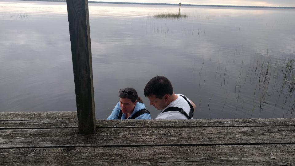
LOCSS News
We share stories about the lakes in our study, our partners and volunteer citizen scientists, as well as interesting results from our research.