New NASA Satellite Launched!
 SWOT Satellite
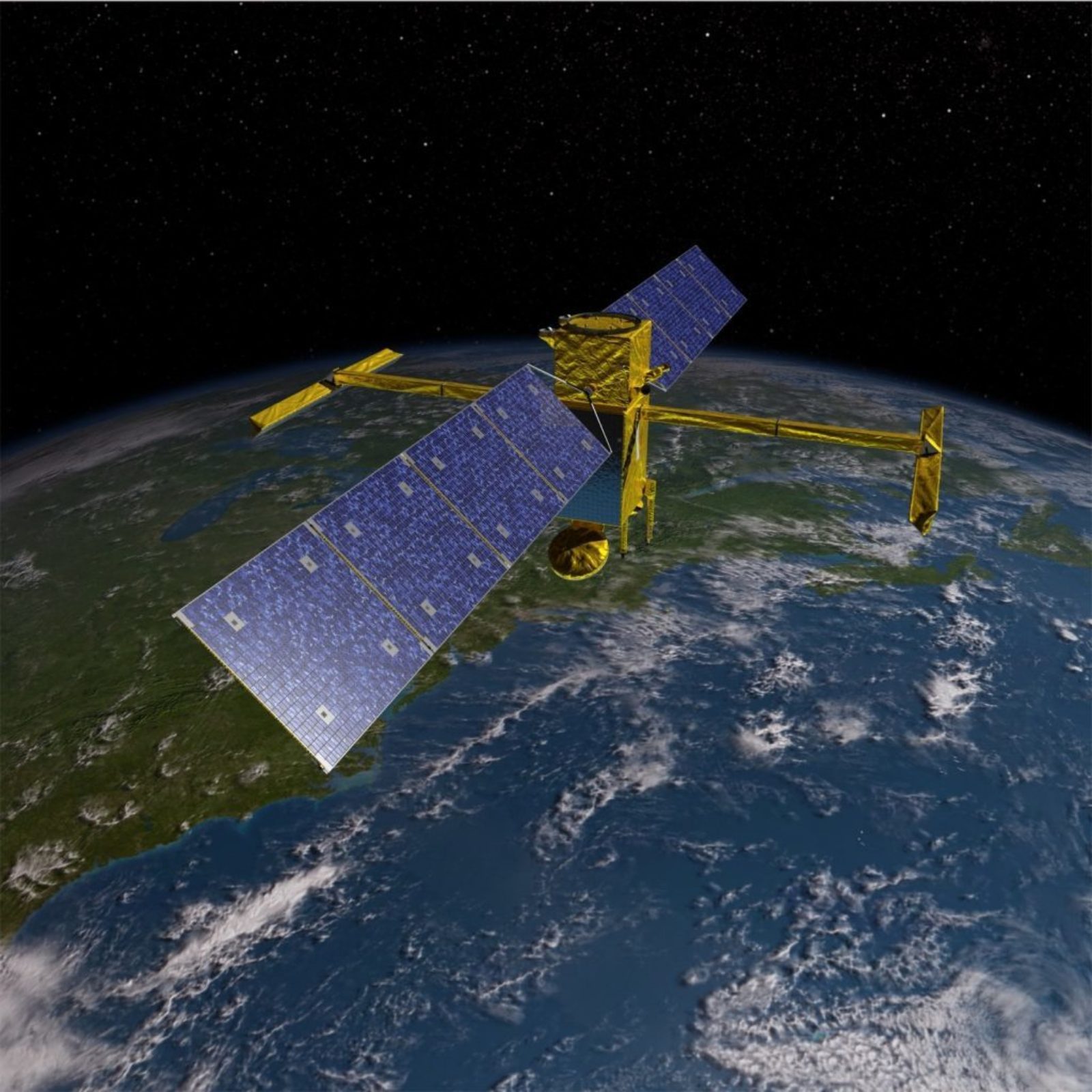
On December 16, NASA launched the Surface Water and Ocean Topography (SWOT) satellite. This satellite mission will be the first global survey of earth's surface water from space. Eventually, the satellite will be able to observe nearly all of the earth's surface water by surveying the entire surface of the earth every 21 days.
In an early stage of the mission, however, SWOT will only survey a small portion of the earth, but it will do it daily. During this "validation period" the satellite will be making daily measurements on LOCSS study lakes in Washington, New York, New Hampshire, France and India. This will occur from roughly mid-March through June 2023, and the LOCSS team will be able to use lake height measurements submitted by citizen scientists to validate similar measurements that are being made by the SWOT satellite!
Read more about the mission and its launch in NASA's recent announcement.
LOCSS News
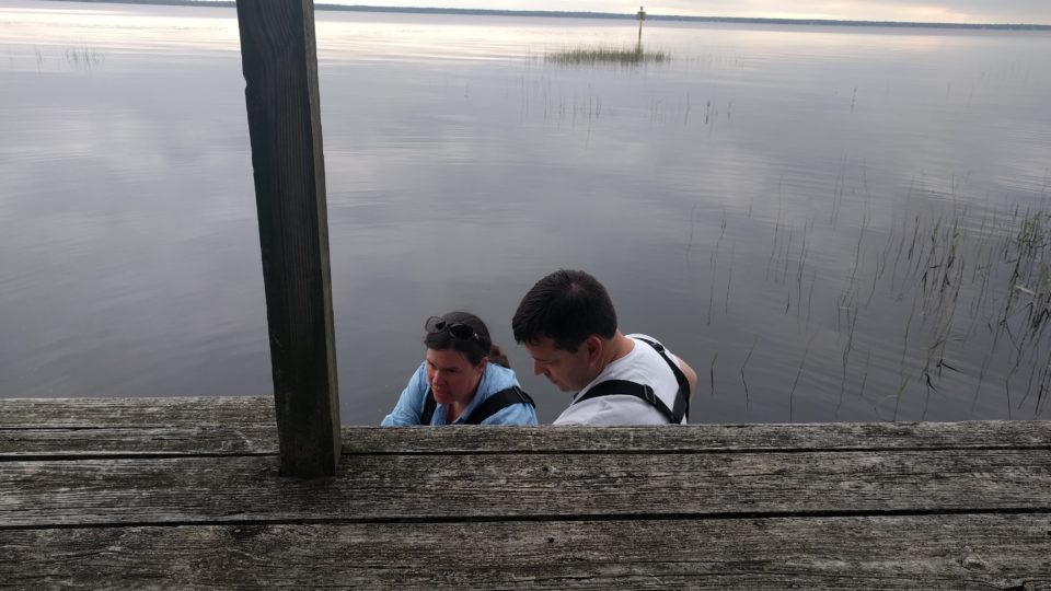
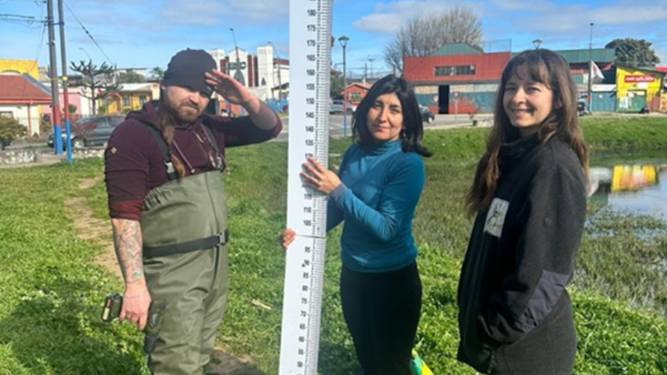
We share stories about the lakes in our study, our partners and volunteer citizen scientists, as well as interesting results from our research.