Citizen Scientists Will Help Validate Satellite Data
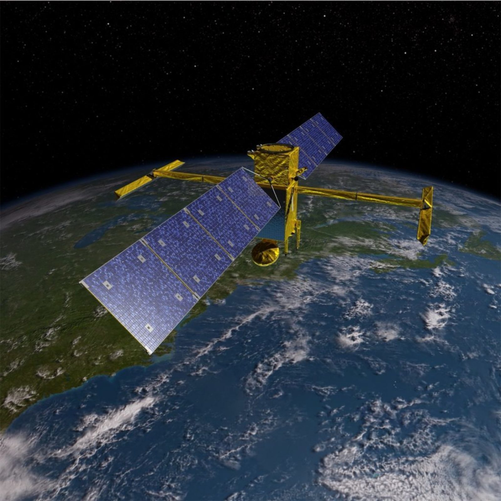 SWOT Satellite
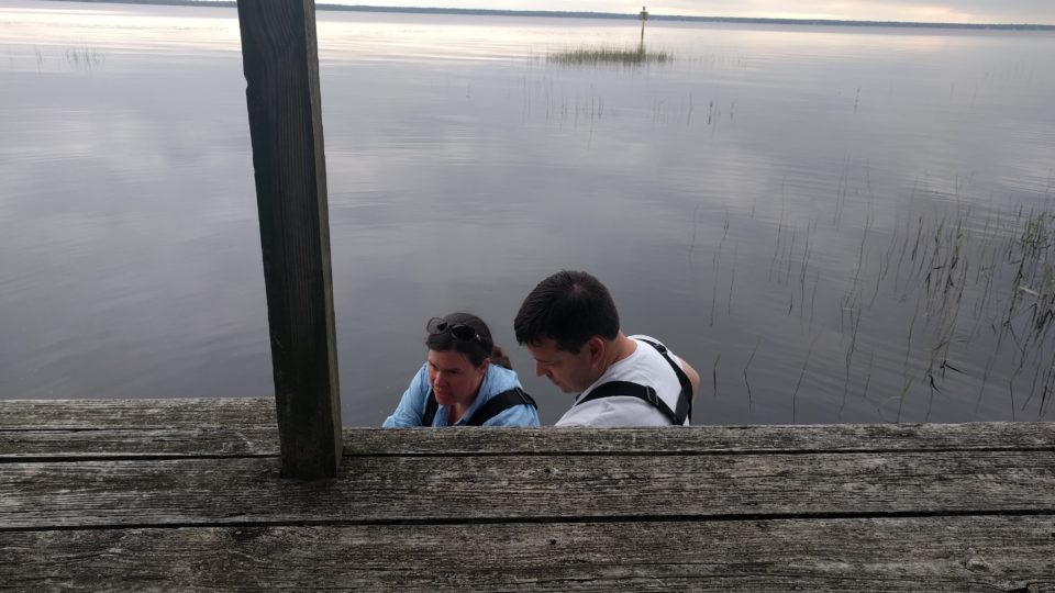
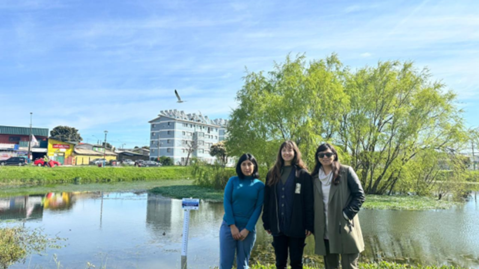
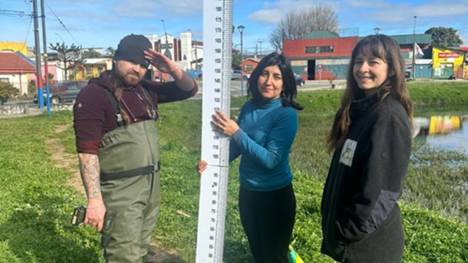
The LOCSS project began in 2017 with a goal of combining data from citizen scientists and satellites to understand how the volume of water in lakes is changing over time. In the four years since, we have worked with local partners and citizen scientists around the world to include lakes both large in small in the project. We are now studying 154 lakes in the United States, Canada, France, Bangladesh, India and Pakistan. Over 4,000 citizen scientists have contributed more than 13,000 lake height measurements.
At the same time, the LOCSS team has been using imagery from various satellites, including NASA’s Landsat 8, to calculate the surface area of the lakes. We have been able to combine lake height measurements with lake surface area measurements to learn many interesting things about our study lakes.
We have recently been granted additional funding to extend the LOCSS project, expand our network of lakes, and seek the answers to new scientific questions. One of these new objectives for the LOCSS project will be to validate satellite data that measures lake height directly.
Up to this point in the project, we have been using data from satellites to measure the surface area of the lakes, which is a complement to the lake height data citizen scientists collect. However, there are satellites that are measuring the surface elevation of water bodies, essentially making the same measurements as LOCSS citizen scientists. These satellites are equipped with specialized radar equipment, called nadir altimeters, to measure the distance between the satellite and the lake surface. There are several satellites with this technology, such as NASA’s Jason-3, which are well established and currently measuring the elevation of the surface of water bodies. However, there has been no systematic evaluation of those satellites’ capabilities in measuring small lakes.
Many current LOCSS study lakes fall under the path of satellites that use nadir altimetry to measure surface elevation. In addition, we are expanding our network to include more lakes that are observed by nadir altimeters. The LOCSS team will compare lake height measurements from citizen scientists at these lakes to the elevation measurements from satellites such as Jason-3 to help better understand how accurately these satellites are measuring smaller lakes. In addition, these and many other LOCSS study lakes are uniquely positioned to validate measurements from the upcoming Surface Water and Ocean Topography (SWOT) satellite, which will also be equipped with a nadir altimeter.
The LOCSS team is very excited about this new aspect of the project, and we are eager to continue working with local partners and citizen scientists around the world to answer new scientific questions!
LOCSS News
We share stories about the lakes in our study, our partners and volunteer citizen scientists, as well as interesting results from our research.