New Study Lakes in the Pyrenees of France
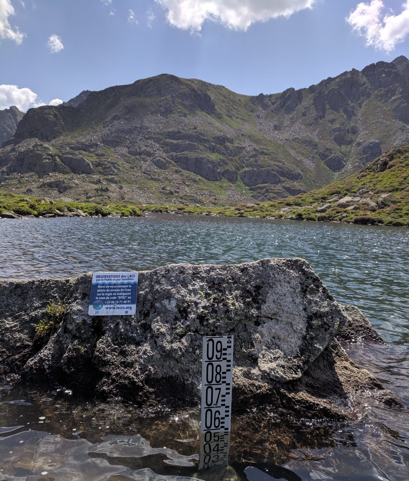 Étang de Fontargente, a LOCSS study lake in the Pyrenees.
The LOCSS program began in 2017 with funding from NASA; we focused on studying natural lakes in North Carolina in our first year. The goal of the project is to collaborate with citizen scientists to monitor how lake height is changing over time, and combine that information with data from NASA satellites to see how the volume of water in natural lakes is changing. The project has grown since its beginning to include lakes in Washington, Illinois, Massachusetts and Bangladesh. We are pleased to report that LOCSS has grown again, and we are now studying lakes in France.
In early July, the LOCSS team made a trip to the France to begin studying four new lakes. We worked with partners at the Laboratoire d’Etudes en Géophysique et Océanographie Spatiales (LEGOS) and ECOLAB, two research labs within the Observatoire Midi-Pyrénées (OMP). These partners helped us identify suitable lakes in the Pyrenees in southwest France, get the proper permissions to study those lakes, and install gauges and LOCSS signs to encourage participation by citizen scientists.
These lakes are of special interest to our team for a number of different reasons. For instance, these are mountain lakes in a postglacial landscape and they formed in a way that is different from our other study lakes. Additionally, the bottom of these lakes is bedrock as opposed to the sediment that you would find in most of our other study lakes. Each of these factors affects the lakes’ hydrology, or the ways in which water enters, circulates through, and leaves the lake.
We chose two sets of lakes, the Étangs de Fontargente (two lakes) and the Étangs de l’Estagnol (two lakes). The lakes are relatively close to each other and you could visit all four by hiking about 2 miles between them. However, a ridge separates the two sets of lakes, so they are therefore in different watersheds. This means that, although they are very close to each other, the factors that cause lake levels to rise or fall could be different, so we may see a difference in how the amount of water in the lakes changes over time.
Additionally, we believe that there is great potential for engaging citizen scientists to submit lake height measurements for them. The lakes are located along the GR10, a popular hiking trail, which spans the length of the Pyrenees. They are also a short distance from a popular overnight stopover for hikers, the Refuge du Rulhe, so we are hopeful that hikers will report lake height measurements as they pass by the gauges.
You can see the location of these new lakes, as well as all of the lake height data on our View Lake Data page.
LOCSS News
We share stories about the lakes in our study, our partners and volunteer citizen scientists, as well as interesting results from our research.