How Do We Choose Our Study Lakes
 Coldwater Lake in Washington, a LOCSS study lake
These lakes come in a variety of shapes and sizes. Some have developed shorelines, while others have very little development around them. Our lakes occur at a variety of elevations, from Lake Mattamuskeet in North Carolina, which sits just a few feet above sea level, to our lakes in France that sit at around 7,000 feet in elevation. Most of our lakes have water in them throughout the year, while our lakes in Bangladesh, on the other hand, are seasonal. The 60 lakes that are part of our study represent a great variety in size, development level, location, and origin, and that is by design. We believe that we can learn a great deal about lakes by studying a great variety. We are often asked about how we choose which lakes to study, so we thought we would share what factors we look at when we are making that decision.
Natural Lakes
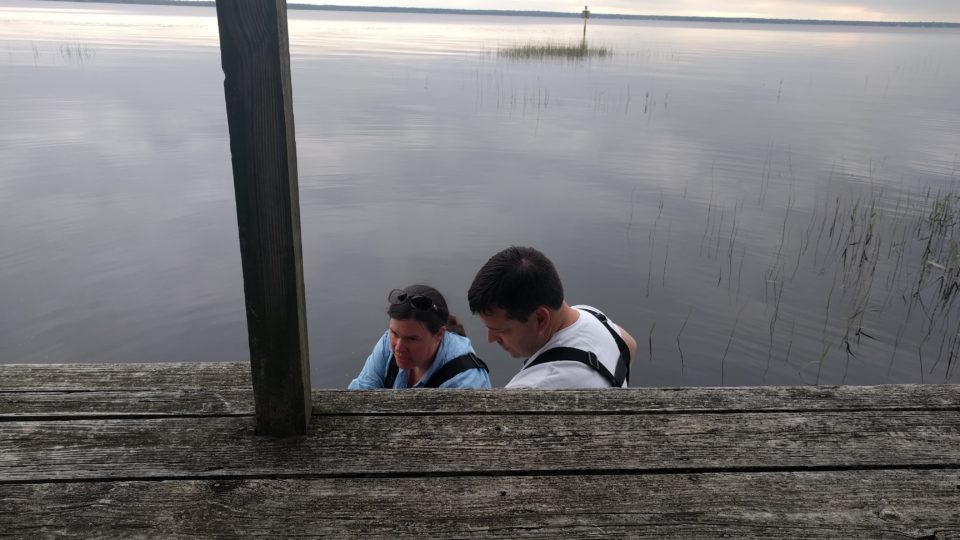
We are most interested in studying lakes that were formed naturally. Many of the lakes that were created by humans are reservoirs used for recreation, drinking water, or flood control. In these cases, it is possible that the amount of water in the lake can be manipulated by simply raising or lowering a dam or weir to maintain water levels that are ideal for that lake’s given purpose. For instance, the water level in a reservoir may be raised to prevent flooding downstream during periods with lots of rain, such as during a hurricane. In Washington, water is released from some reservoirs at certain times of year to promote successful spawning of salmon or other fish species. So monitoring changes in lake water storage in these cases would not tell us much about the hydrology of the area.
We are looking to study natural lakes because it can tell us more about the natural hydrology of the area. We study many lakes that have a constructed dam or spillway, but it is important that we are studying lakes where humans are not using these structures to change water levels.
Lake Size
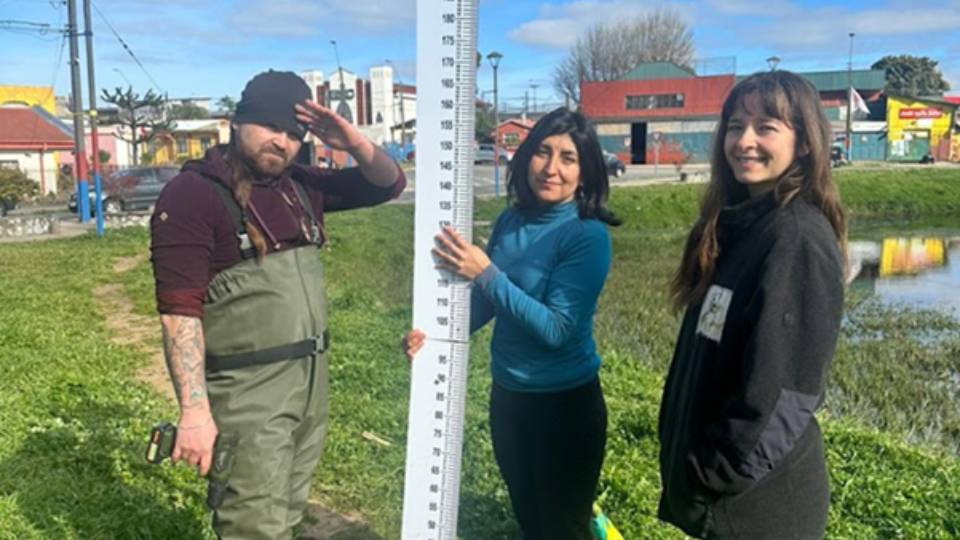
We use two different types of data to understand how the volume of water in lakes is changing. The first type is lake height measurements submitted by citizen scientists. The second is lake surface area measurements derived from satellite imagery. Using satellite data gives us the opportunity to calculate surface area of every one of our lakes as often as every 16 days, but it has its limitations. In particular, the resolution of the images dictates that lakes must be at least ~10 acres in size for us to notice any significant changes in surface area. We work to study lakes of a variety of sizes, with several lakes that are about 10 acres in size all the way up to our largest lake, Lake Washington, which is more than 2100 acres.
Location
We have designated a number of locations as high priority areas for a variety of reasons. For instance, North Carolina and Washington were chosen because the LOCSS team us partially made up of people from both the University of North Carolina and the University of Washington. Bangladesh and France are priority areas because the lakes there are unique, and because the LOCSS team has previously worked with partners in those locations. Expanding our network of lakes in New England is a focus for the coming year because those lakes will be particularly useful in an upcoming satellite mission, called Surface Water and Ocean Topography (SWOT).
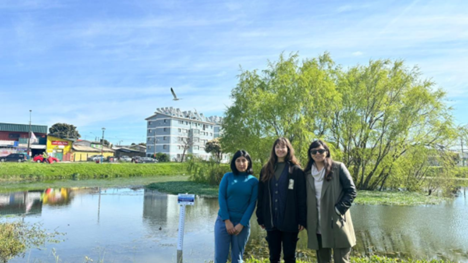
Local Partners and Citizen Scientists
Lastly, a LOCSS study lake must be a good fit for engaging local partners and citizen scientists. A natural lake may be a great size, in a high priority location, but that does not necessarily mean it is a great fit for our program. If it is in a location that we cannot get citizen scientists to report measurements then we will not be able to get enough lake height data to learn about the lake. Additionally, establishing connections with local partners, such as county or state parks, is vital to the success of our program.
Our lakes in Illinois are an example of the importance of working with local partners and citizen scientists. We had not named that area as a “priority region” when we began, but we were contacted by someone interested in bringing the project to those lakes. We worked with these local partners to identify a number of natural lakes that were the right size and would draw interest from locals who would be willing to become citizen scientists. We are now studying 17 lakes in Illinois, and citizen scientists are regularly submitting lake height measurements for all of them.
We take a number of factors into account when we are trying to decide whether to include a lake as part of our study. We are looking for the right combination of lake size, location and the potential for making connections with local partners and citizen scientists. It is our goal to have a variety of lakes, in a number of different locations, while engaging as many local partners and citizen scientists as we can.
We are always looking for opportunities to expand. If you know of a lake that you think would be a good fit for our study, send us an email and tell us about it: [email protected]
LOCSS News
We share stories about the lakes in our study, our partners and volunteer citizen scientists, as well as interesting results from our research.