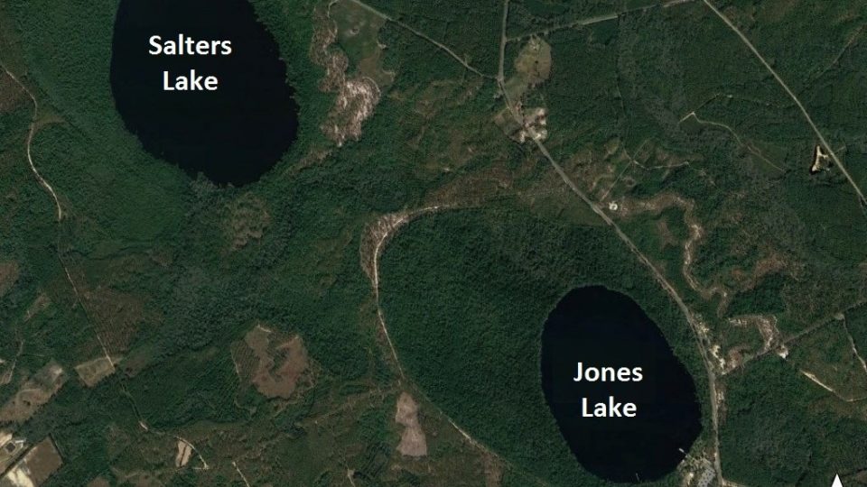
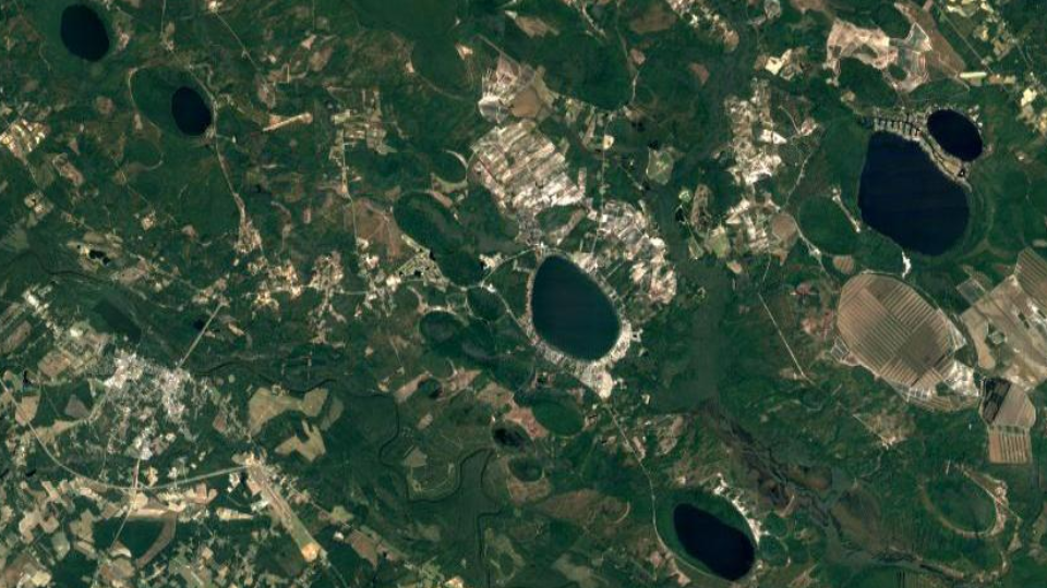
The Lake Level Monitoring Project at AGU
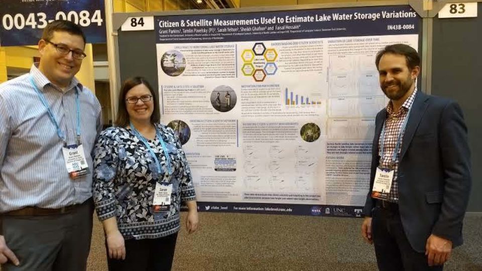
From December 11-15, members of the Lake Level Monitoring Project team travelled to New Orleans to participate in the American Geophysical Union (AGU) fall meeting.